How we went from having to “Know a Guy” to being able to “Know Before You GO”
How COMBO helped connect FlowFeed and Trailforks to make finding the right trail easier for riders everywhere.
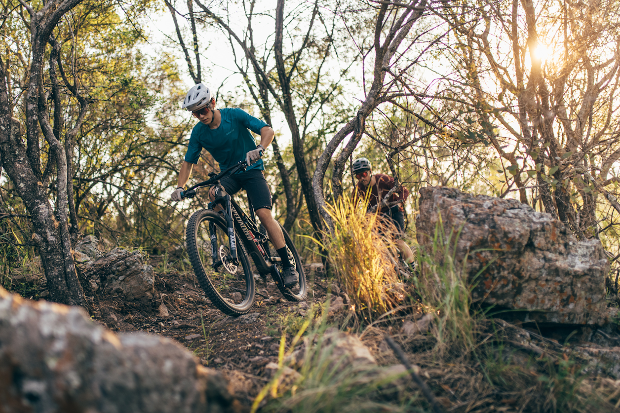
For years, one of the biggest challenges in mountain biking wasn't finding a trail. It was knowing whether the trail conditions were ok to ride.
Back in the 2010s, if you wanted to know if the trails were ok, you had two options:
be incredibly in tune with the weather and how each trail system responded to rain, or...
know a guy
You'd text a local rider, call a bike shop, check social media, or take your chances and drive to the trailhead. It wasn't particularly efficient, and for natural-surface trails that can be easily damaged when wet, it wasn't ideal.
The First Step: The Dry Trails App
A few years ago, COMBO board member Mike Whaley, better known as "Bike Whaley," decided to do something about this problem.
Mike built an app called Dry Trails, which leveraged publicly available weather data to show recent rainfall totals for specific areas.
It was a big step forward. Instead of guessing, you could see that a trail had received half an inch of rain in the previous 24 hours and make a more informed decision about where to ride.
But there was still a missing piece:
What did that rainfall actually mean for the trail?
Anyone familiar with Central Ohio trails knows that Horns Hill can handle an incredible amount of rain, while Alum Creek is far more sensitive. Even within Alum Creek, the same quarter-inch of rain can affect Phase 1 and Phase 2 differently.
Rainfall data was useful, but interpreting it still required local knowledge.
The Next Step: FlowFeed
Fast-forward a few years, and another COMBO board member, Tim Ross, discovered FlowFeed.
They had taken that next step.
FlowFeed combined publicly available weather information with trail resiliency ratings supplied by local trail administrators. Instead of simply reporting how much rain had fallen, the technology could estimate how those conditions would affect different trail systems.
FlowFeed was already working with major riding destinations, including Bentonville and Brown County, to improve their rider experience.
COMBO joined as an early pilot partner, helping test the technology and provide feedback from the perspective of both riders and trail administrators.
Suddenly, we had something we'd been working toward for years:
trail conditions updated every hour, informed by both weather data and local trail knowledge.
That was a huge leap forward.
But we kept coming back to another question.
Connecting the Dots: FlowFeed Meets Trailforks
Knowing whether a trail is ready to ride is only one part of planning a great adventure. Riders also want to know how long the trail is, how difficult it might be, how much climbing to expect, where to park, and which route to take.
Much of that information already lives in Trailforks, the platform COMBO uses to document our trail network and help riders find experiences that match their abilities and interests.
So we asked a simple question:
What if FlowFeed's trail conditions could automatically appear in Trailforks alongside all the other information riders need?
To us, it seemed like a win-win-win.
Trailforks could offer more valuable information to its users.
FlowFeed could bring its technology to a much larger audience.
COMBO and trail administrators everywhere could help riders find the trail experience that is right for them and protect the trails.
COMBO leveraged our existing relationship with Trailforks to help bring the two companies together. Both teams immediately recognized the opportunity and got to work building the technological connection.
A World First, Right Here in Central Ohio
Today, COMBO is proud to be the first trail network in the world to launch this FlowFeed-to-Trailforks integration!
Trail conditions across our network can now be automatically updated every hour in Trailforks, alongside the maps, distances, elevation profiles, difficulty ratings, and other information riders already use.
What began years ago as a question of whether a trail had received too much rain has evolved into something much more powerful. And while COMBO is the first to benefit from this integration, the opportunity extends far beyond Central Ohio. The technology creates a pathway for trail organizations around the world to provide riders with better, more timely information.
Building Trails.
Building Community.
Building Something Bigger.
One of the things I love most about the mountain biking community is how collaborative it is. Trail builders, volunteers, riders, nonprofit organizations, and technology companies are constantly sharing ideas and working together to improve the experience for ALL. This project is a tremendous example of that culture.
Mike Whaley saw a problem and built something to help solve it. Tim Ross recognized an opportunity to take the next step with FlowFeed. COMBO brought the perspective of riders and trail administrators, then helped connect two technology partners who shared the same vision.
And FlowFeed and Trailforks didn't just see the opportunity. They acted on it, quickly building a connection that has the potential to benefit riders far beyond our own trail network.
This is what COMBO delivers for its members and the broader riding community.
Yes, we build and maintain trails. But we're also working to remove the barriers that keep people from enjoying them. Sometimes that means building a new trail closer to home. Sometimes it means creating a more welcoming experience for beginners. And sometimes it means helping two technology companies connect their platforms to make everyone's next ride a little easier to plan.
I'm incredibly grateful to Mike, Tim, FlowFeed, Trailforks, and everyone who helped make this possible. We're excited to continue working with both companies as this technology evolves. In the meantime, the next time you're wondering whether your favorite trail is ready to ride, or looking for somewhere new to explore, you have a much better way to find out.
This Is Just the Beginning
We're soft-launching this experience and continuing to work with both FlowFeed and Trailforks to make it better.
Our goal is bigger than telling you whether a trail is wet or dry. We want to make it easier for every rider, from someone planning their first mountain bike ride to someone looking for the best gravity riding in Ohio, to find the adventure that's right for them.
We'll continue improving the experience as new features become available.
Now go check FlowFeed or Trailforks, call your friends, and go for a ride!
Building Trails. Building Community.
COMBO | Central Ohio Mountain Biking Organization